Some showers and storms will develop this afternoon and spread to the south. Dangerous heat will be an issue across central to western areas. Mostly cloudy skies are expected with highs in the mid to upper 90s.
From the National Weather Service:
High temperatures in the mid to upper 90s combined with increased moisture will result in heat indices of 105-110 degrees across much of the area. Heat exhaustion will be likely with prolonged outdoor activity. Make sure to stay hydrated, avoid strenuous outdoor activities and take frequent breaks when outdoors.

Isolated severe thunderstorms remain possible this afternoon into late evening hours with the primary threat being damaging wind gusts and hail up to quarter size. Timing will mainly be early to mid-afternoon near Highway 82, late afternoon to early evening near Interstate 20 and early to late evening near Highway 84 and Highway 98.

*************
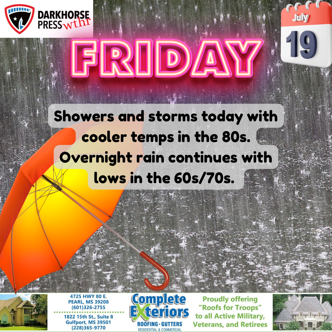
Darkhorse Weather is brought to you by Complete Exteriors.
Specializing in roofing and gutter replacement and repairs, Complete Exteriors is dedicated to bringing you quality service from beginning to end.
Give them a call at 601-326-2755 (Central MS), and 228-365-9770 (Gulf Coast) for your free quote today!