From the National Weather Service in Jackson:
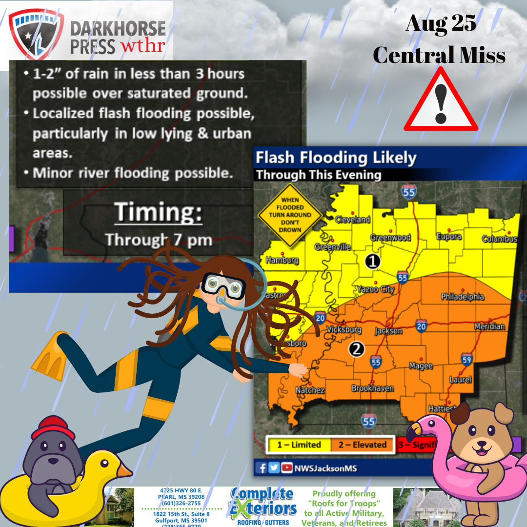
The flooding threat continues across the area through this evening, with multiple rounds of heavy rain showers and some thunderstorms expected to bring several inches of rain to many locations. Area soils are saturated, with streams and bayous running high from the last several days of rain. Additional rainfall of two to four is expected on top of what has already fallen, and locally higher amounts are expected in some portion of the area. Minor to moderate river flooding is also expected on some area rivers.

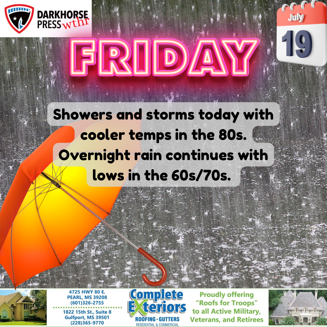
Temperatures will struggle to warm above 80 degrees at most locations today due to rain and increased cloud cover across the region.


***********
Darkhorse Weather is brought to you by Complete Exteriors.
Specializing in roofing and gutter replacement and repairs, Complete Exteriors is dedicated to bringing you quality service from beginning to end.
Give them a call at 601-326-2755 (Central MS), and 228-365-9770 (Gulf Coast) for your free quote today!