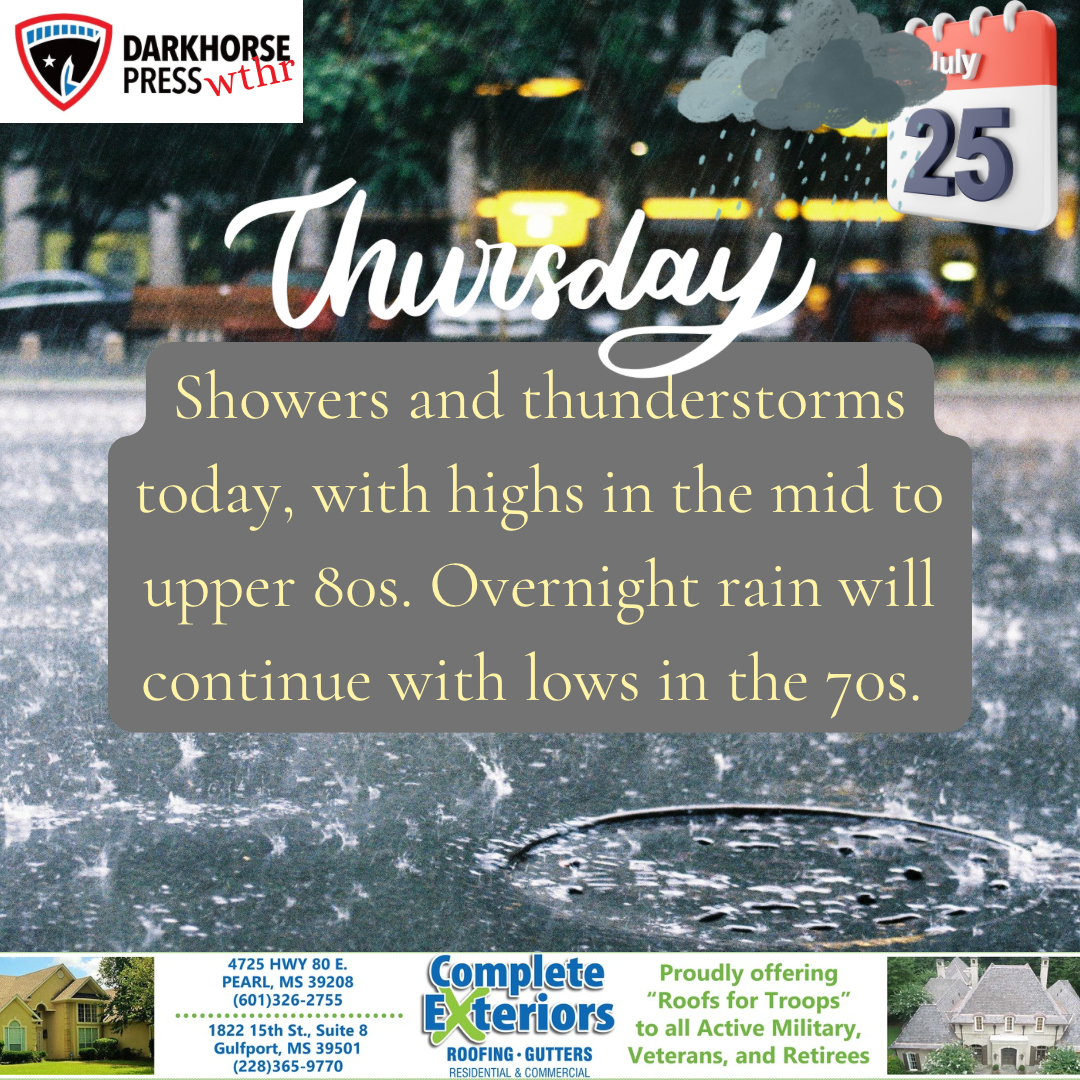
Source: The National Weather Service
The National Weather Service warns of the heat stress that will continue today across Central Mississippi. Isolated to scattered showers and thunderstorms are expected this afternoon, with the greatest coverage along and south of I-20. High temperatures will be in the high 90s, with heat indices between 105F and 115F.
Hot and humid conditions will continue through the remainder of the week with afternoon temperatures in the middle 90s to around 100F and heat indices up to 110F to 115F over consecutive days. This is a prolonged heat wave. Residents are urged to stay hydrated and to avoid spending long periods of time outdoors.