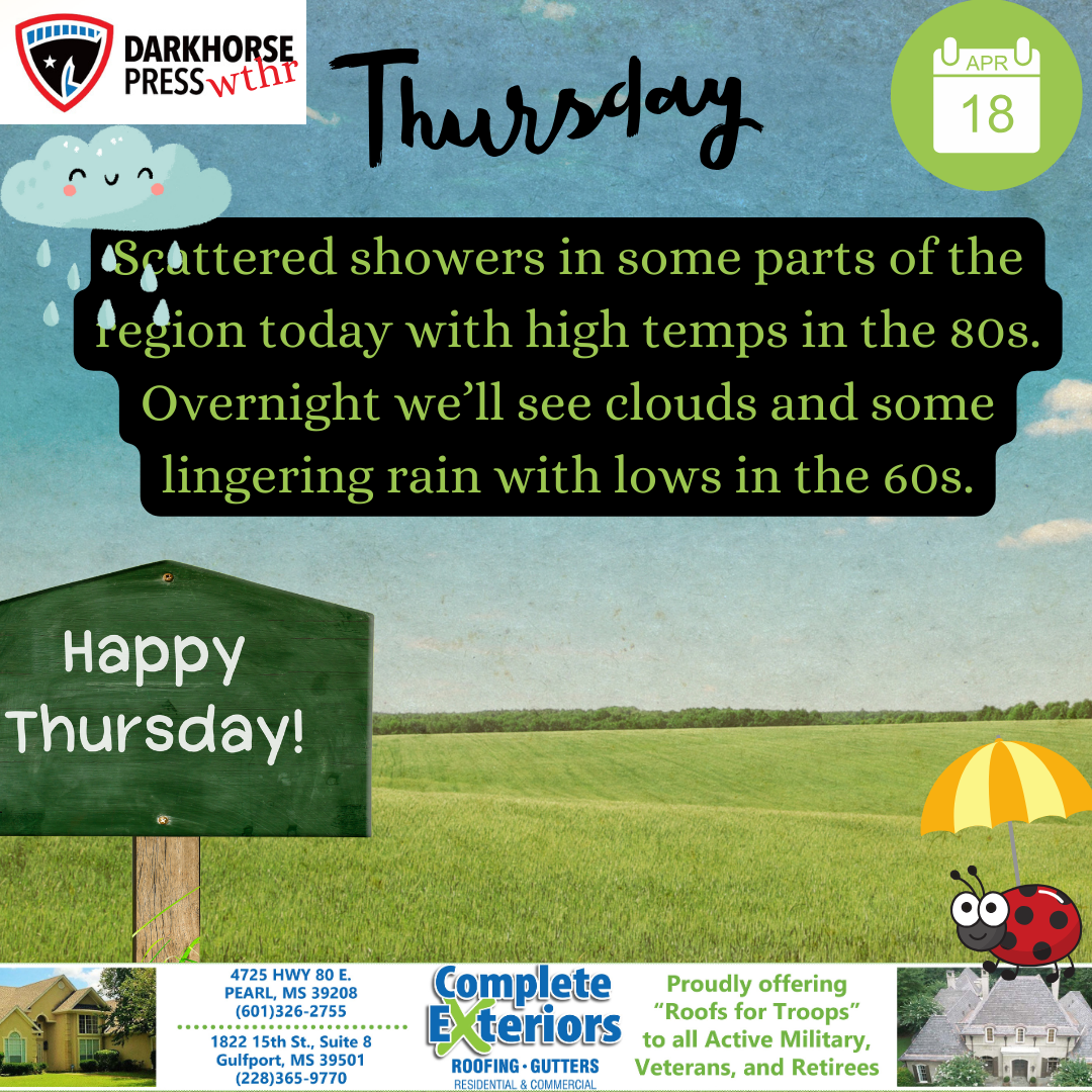
Thursday Weather: some sun with a slight chance of showers,
Isolated showers and a rumble of thunder will be possible for northern portions of the area. Elsewhere, expect partly sunny skies with highs in the
Isolated showers and a rumble of thunder will be possible for northern portions of the area. Elsewhere, expect partly sunny skies with highs in the

Isolated showers and thunderstorms will be possible along and north of I-20. Elsewhere, expect partly cloudy skies with highs in the upper 70s to lower

Beautiful day today with high temps in the mid to upper 70s and sunny skies. Overnight temps drop to the 50s and skies remain clear
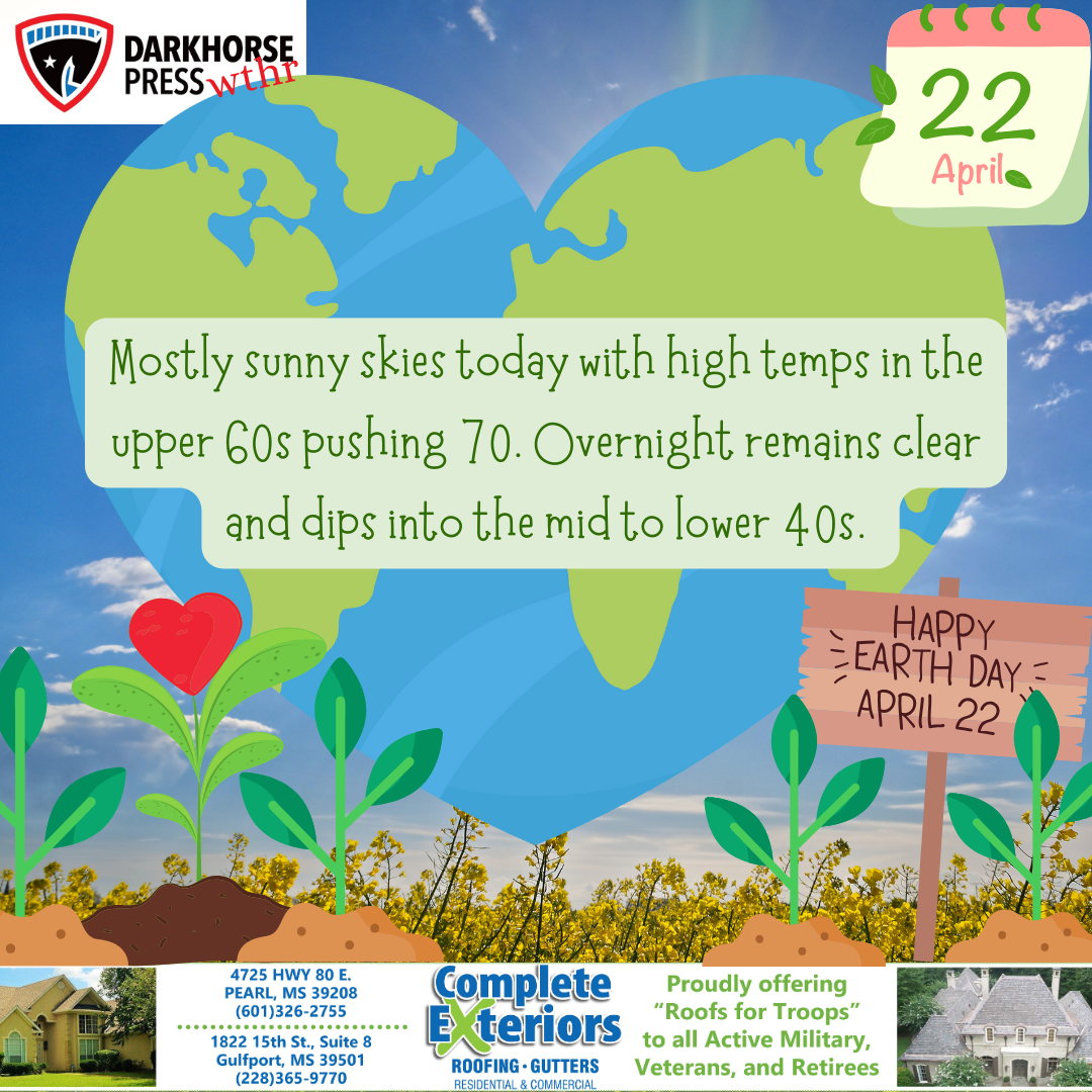
Expect sunshine today with high temps in the upper sixties to 70 degrees. Tonight we’ll see clear skies and low temps in the 40s Darkhorse
Scattered to isolated showers and storms, with an isolated severe storm possible along the Highway 82 corridor, will be possible over areas mainly north of

Scattered to isolated showers and storms will be possible over areas mainly north of Interstate 20 today. Look for highs to warm into the mid
Winds will become breezy out of the south today, with sustained speeds of 20 to 25 mph and gusts of 30 to 40 mph possible

Today we’ll see clear skies with sunshine and highs in the 70s. Tonight skies remain clear with lows in the 40s and 50s. Darkhorse Weather
Today will start out cloudy with a chance for showers and isolated thunderstorms this morning, but will end later this morning into the afternoon hours.
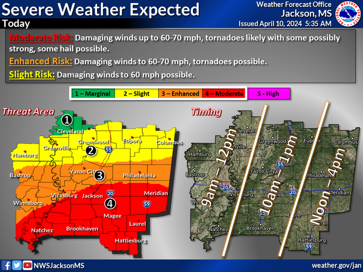
Severe storms are expected today. The main concerns will be for damaging wind gusts and tornadoes, especially in the moderate risk area where a few