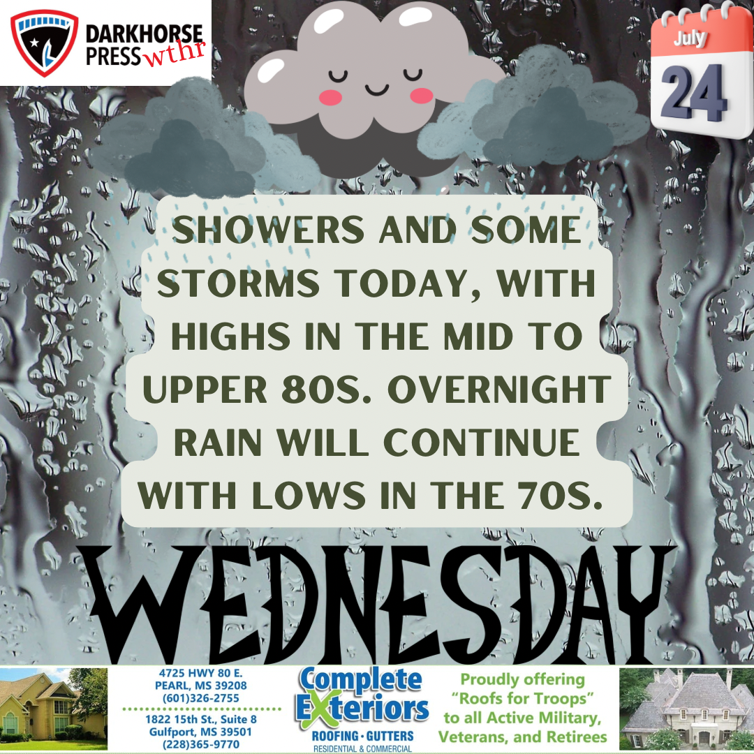
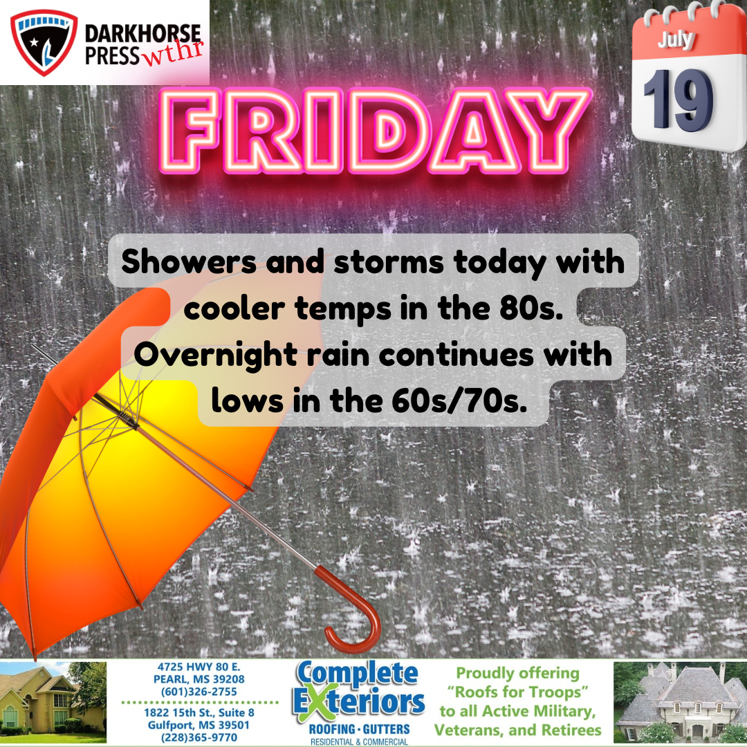
The long days of rain and cloud cover appear to be fading out, according to the National Weather Service.
That doesn’t mean we won’t see afternoon showers, but the extended rain we’ve had over the recent weeks won’t be a constant problem.
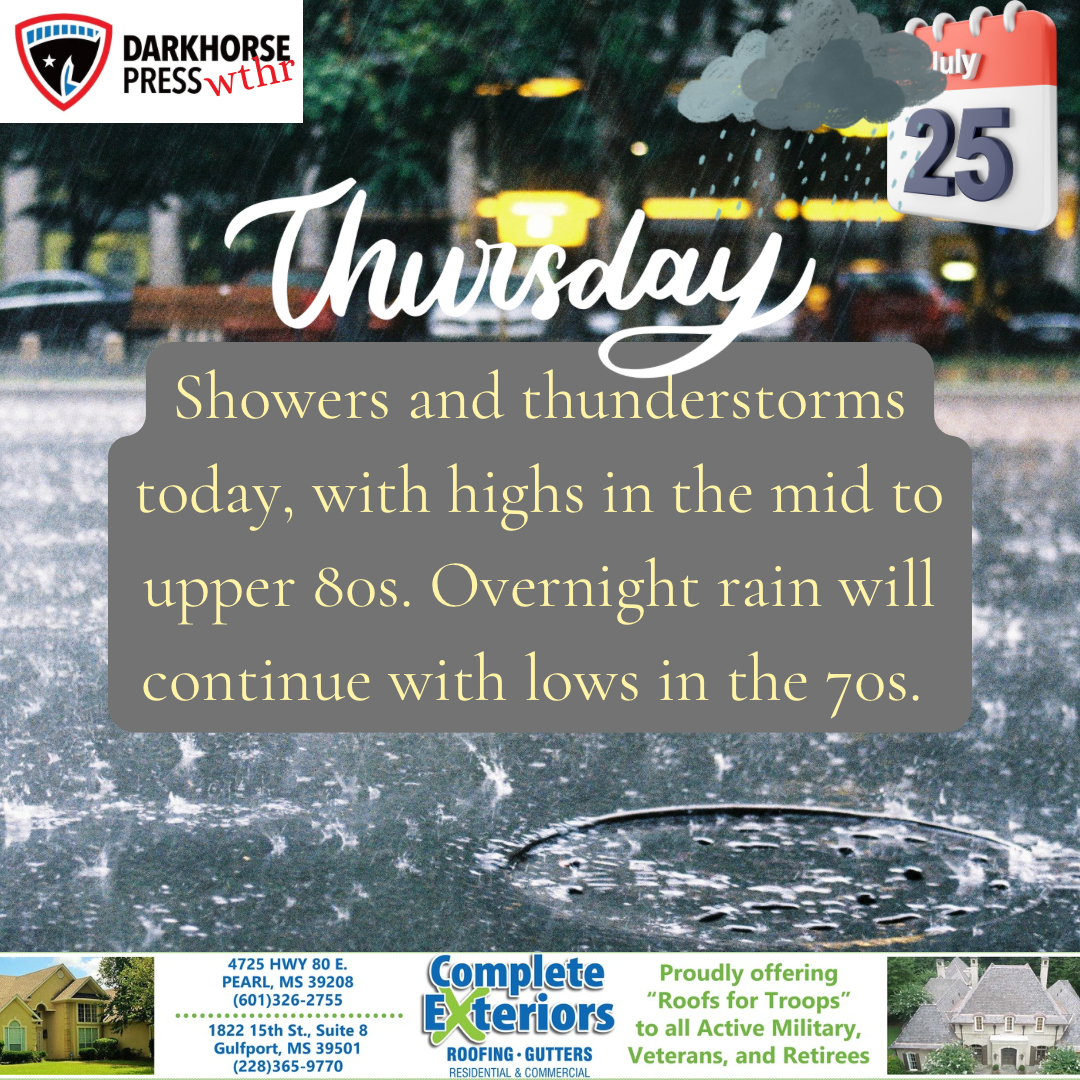
NWS Meteorologist Ashlyn Jackson said central Mississippi should see a ridging pattern come in over the next few days, which will allow the high temperatures each day to rise from the mid- to upper-80s into the mid-90s.
That will stabilize conditions for the usual afternoon summer thunderstorms to take place, as opposed to the recent widespread condensation, she said.
This weekend, there will be elevated chances of thunderstorms — around 40 percent, according to the NWS. Those rain chances, however, will mostly be in the afternoon hours.
“It’s going to get warmer than what we have experienced,” Jackson said.