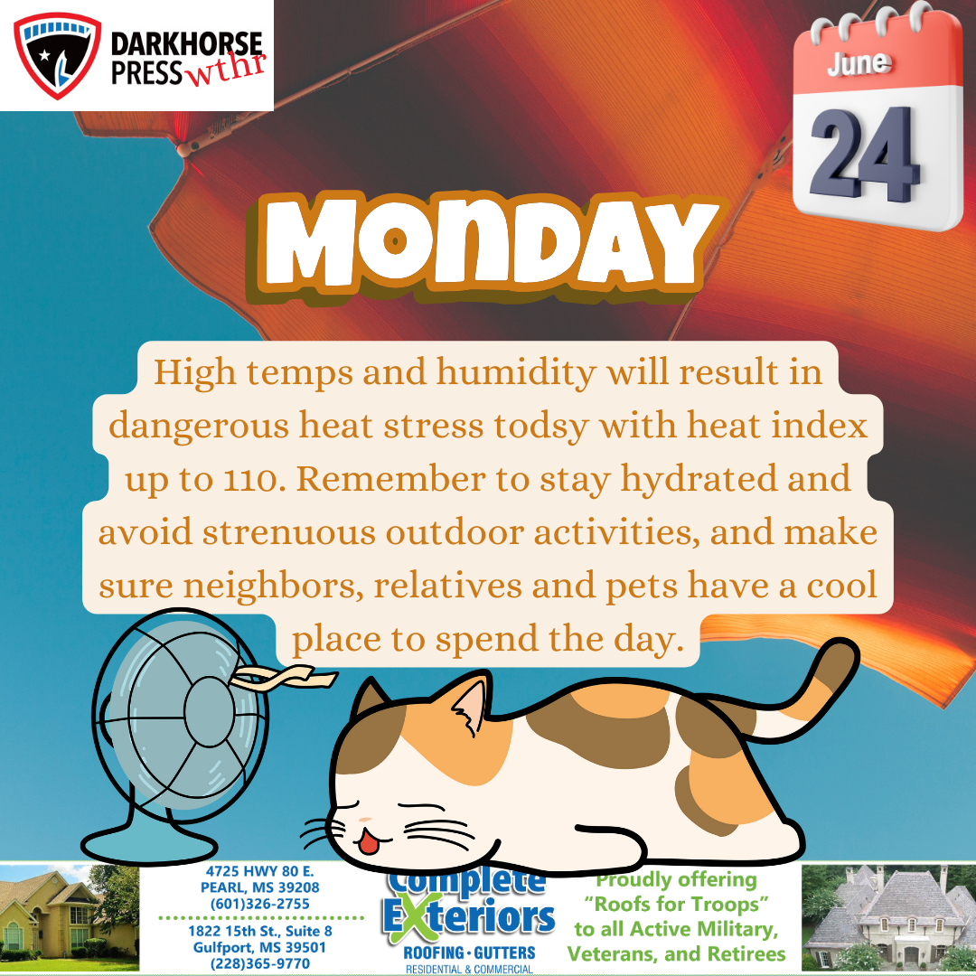
A historic heat wave will lead to high temperatures approaching or exceeding all time record highs over portions of central and south Mississippi and northeast Louisiana. In addition, peak heat index readings of 110 to 120 degrees are expected across the entire area. Heat related illnesses, including an increasing risk for heat stroke, will be increasingly likely to imminent with prolonged outdoor activity. Frequent cooling and hydration breaks are recommended when working outdoors.

Persistent hot, dry weather and vegetation has led to development of dangerous wildfire conditions. Increased fire danger concerns will be south of the Highway 82 corridor, with the most significant, dangerous wildfire potential south of Interstate 20. In southern areas, open outdoor burning should not be attempted as wildfires will spread rapidly, while open burning is discouraged to the north. Heed any local burn bans.

Today will be mostly sunny and very hot with high temperatures 99F – 105F.
Tonight will be mostly clear and warmer than normal with low temperatures in the upper 70s.