A severe weather event is possible tonight, and the greater potential remains for the southern portions of the region. Damaging wind gusts with perhaps a few tornadoes will be possible in the slight risk area, while damaging wind gusts will be the primary concern in the marginal risk area. Updates have been made to the severe graphic to highlight the enhanced risk, particularly for areas along and south of the Hwy 98 corridor.

Thunderstorms with heavy rain will occur tonight. Flash flooding will be most likely over southeast portions of the area where 3-6 inches of rain will fall with some locally higher amounts.
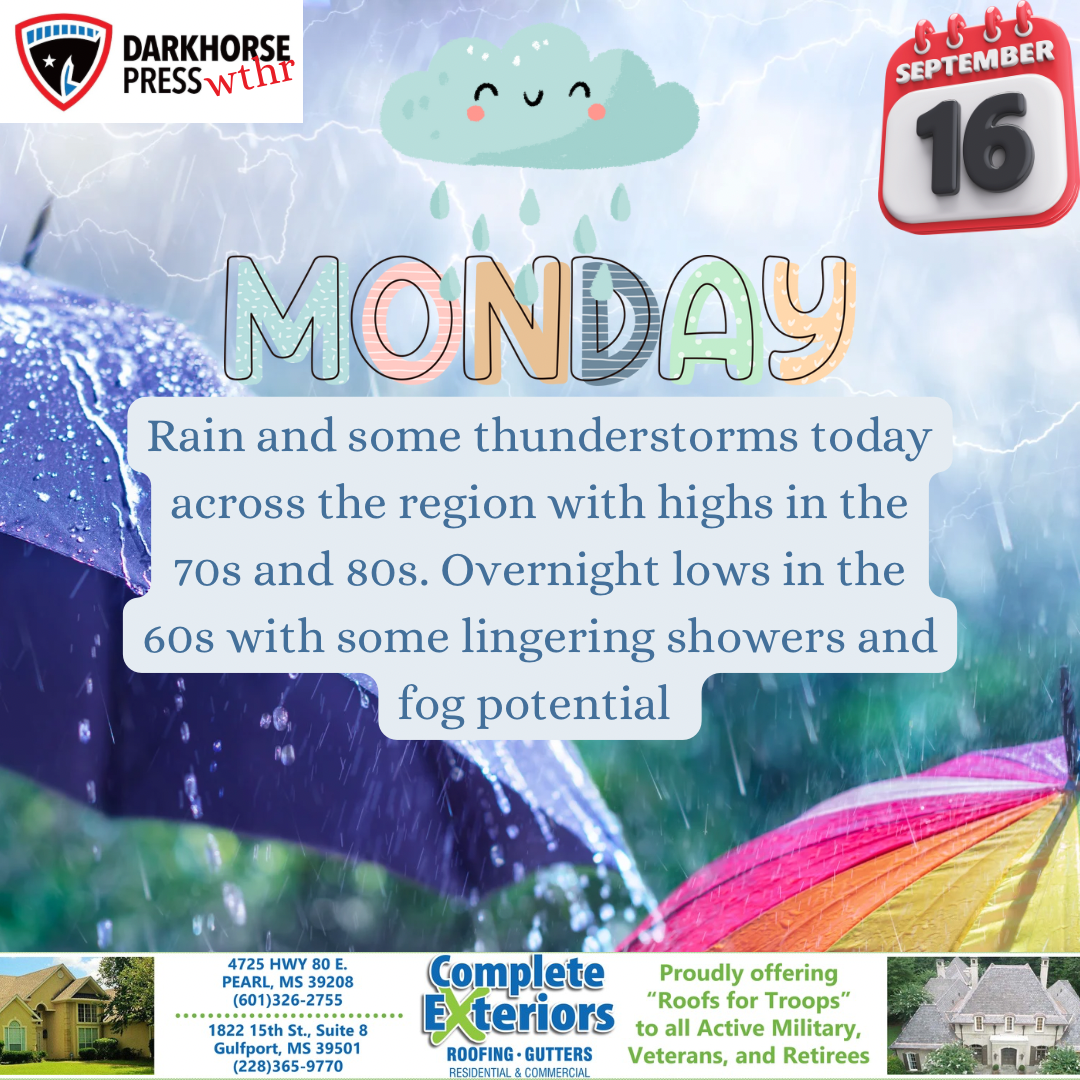
A Flood Watch is in effect for areas mainly south of I-20 until Monday night. A Wind Advisory is also in effect for all of Mississippi from 3pm until 6pm on Tuesday. The main threats with this system will be flooding and gusty winds up to 60 mph. A tornado can’t be ruled out as well. Expect the line of storms to move through and begin to tapper off Tuesday morning.
Darkhorse Weather is brought to you by Complete Exteriors.
Specializing in roofing and gutter replacement and repairs, Complete Exteriors is dedicated to bringing you quality service from beginning to end.
Give them a call at 601-326-2755 (Central MS), and 228-365-9770 (Gulf Coast) for your free quote today!